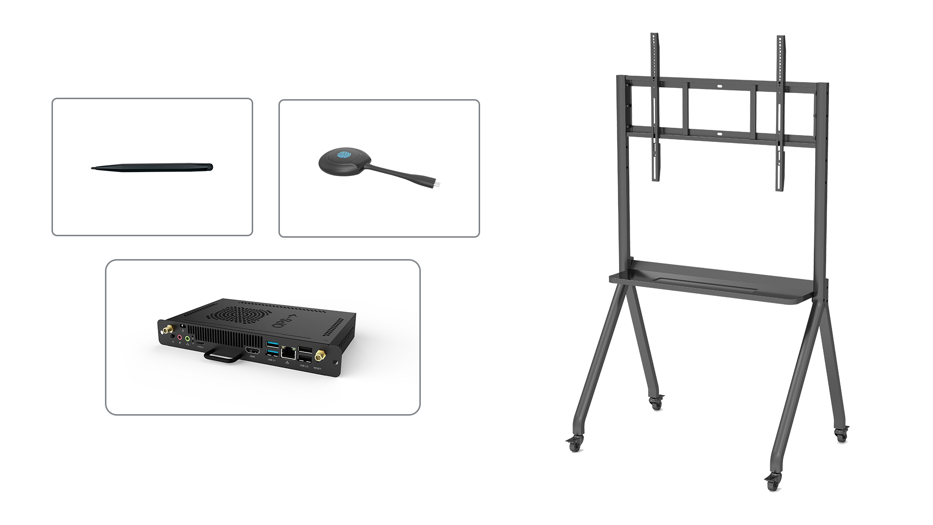
Revolutionizing the User Experience with interactive elevation display
Interactive elevation display technology has emerged as a game-changer in various industries, providing users with an enhanced and immersive experience. This innovative solution allows users to visualize and interact with elevation data in a dynamic and engaging way. Whether it's for architectural design, urban planning, or outdoor activities, interactive elevation display offers numerous benefits that are transforming the way we perceive and understand elevation. In this article, we will explore the advantages and applications of this cutting-edge technology.
1. Understanding Elevation with Realistic 3D Visualizations
One of the key advantages of interactive elevation display is the ability to present elevation data in realistic 3D visualizations. By utilizing advanced rendering techniques, this technology enables users to explore elevation models with a high level of detail and accuracy. Whether it's a mountain range, a cityscape, or a building design, interactive elevation display provides a comprehensive understanding of the terrain and its features. This lifelike representation enhances decision-making processes, allowing architects, urban planners, and outdoor enthusiasts to make informed choices based on a realistic depiction of the elevation.
2. Seamless Integration with Geographic Information Systems (GIS)
Interactive elevation display seamlessly integrates with Geographic Information Systems (GIS), allowing users to overlay elevation data with other geospatial information. This integration enhances the analysis and interpretation of elevation data, enabling professionals to gain valuable insights for a wide range of applications. By combining elevation data with GIS, urban planners can assess the impact of proposed developments on the surrounding environment, while hikers and outdoor enthusiasts can plan their routes based on accurate elevation profiles.
3. Enhancing Architectural Design and Visualization
Architects and designers can greatly benefit from interactive elevation display when it comes to designing and visualizing buildings and structures. This technology allows them to explore how their designs interact with the surrounding terrain, enabling them to optimize building placement and orientation. By visualizing the elevation in relation to the proposed design, architects can ensure that the structure harmonizes with the natural landscape, resulting in aesthetically pleasing and environmentally friendly designs. Interactive elevation display also helps clients better understand the architect's vision, leading to more effective communication and collaboration throughout the design process.
4. Supporting Urban Planning and Development
Urban planning and development can be significantly enhanced through the use of interactive elevation display. By accurately representing the elevation of a city or region, this technology helps urban planners assess the impact of proposed developments, such as high-rise buildings or infrastructure projects. It allows them to analyze the potential visual impact on the cityscape, consider factors such as sunlight exposure and shadowing, and ensure that the overall urban design is in harmony with the natural topography. With interactive elevation display, urban planners can make informed decisions that promote sustainable and aesthetically pleasing urban environments.
5. Optimizing Outdoor Activities and Adventure Planning
Interactive elevation display is a valuable tool for outdoor enthusiasts and adventure seekers. Whether it's hiking, mountain biking, or skiing, understanding the elevation of a trail or a mountain range is crucial for planning a safe and enjoyable outdoor experience. With interactive elevation display, users can explore elevation profiles, identify steep sections, and assess the difficulty level of a route. This information allows outdoor enthusiasts to plan their activities accordingly, ensuring they are well-prepared and equipped for the challenges that lie ahead. Additionally, interactive elevation display can help users discover new routes and explore unfamiliar terrains with confidence.
6. Promoting Environmental Awareness and Conservation Efforts
Interactive elevation display can play a significant role in promoting environmental awareness and conservation efforts. By visualizing elevation data, users can better understand the topographical features of an area and the impact of human activities on the environment. This understanding can lead to more sustainable land-use planning and conservation initiatives. For example, interactive elevation display can help identify areas prone to erosion or landslides, allowing for targeted conservation efforts. It can also be used to raise awareness about the importance of preserving natural landscapes and promoting responsible outdoor recreation.
7. Improving Disaster Management and Emergency Response
In the event of natural disasters or emergencies, interactive elevation display can be a valuable tool for disaster management and emergency response teams. By visualizing elevation data, these teams can quickly assess the affected areas and understand the potential impact of the disaster. This information is crucial for planning evacuation routes, identifying safe areas for shelter, and coordinating rescue operations. Interactive elevation display enables real-time monitoring and analysis of changing elevation conditions, aiding in the efficient and effective management of emergency situations.
8. Facilitating Geological and Geophysical Research
Geological and geophysical research often requires a thorough understanding of the elevation and topographical features of an area. Interactive elevation display provides researchers with a powerful tool to explore and analyze elevation data in detail. Whether it's studying fault lines, volcanic activity, or the formation of mountains, this technology allows researchers to visualize and investigate the elevation in relation to other geological and geophysical data. The interactive nature of the display facilitates data exploration and hypothesis testing, leading to new discoveries and advancements in the field.
9. Enabling Virtual Reality Experiences
Interactive elevation display can be combined with virtual reality (VR) technology to create immersive and realistic experiences. By wearing a VR headset, users can explore elevation models as if they were physically present in the environment. This combination of interactive elevation display and VR opens up new possibilities for education, tourism, and entertainment. Users can virtually climb mountains, walk through cityscapes, or explore historical sites, all from the comfort of their own homes. The integration of interactive elevation display and VR technology offers a truly immersive and engaging experience.
10. Advancing Education and Learning Opportunities
Interactive elevation display has the potential to revolutionize education and learning opportunities. By providing students with a hands-on, interactive tool to explore elevation data, this technology enhances their understanding of geographic concepts and promotes spatial thinking. Whether it's in geography, geology, or environmental science classes, interactive elevation display can facilitate engaging and interactive learning experiences. Students can analyze elevation profiles, simulate natural processes, and explore the impact of human activities on the environment. This technology empowers students to become active learners, fostering a deeper appreciation for the world around them.

